
Field evidence / 01 · Syria
The Hidden Passage
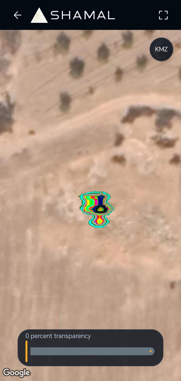
Owner-reported description: A zig-zag underground tunnel, 3 m deep, with an east–west / west–east route repeated three times.
Regional map
Drag to explore · + / − to zoom · Ctrl + scrollMove map to pan · Scroll page to leave
Loading NASA satellite imagery…
NASA GIBS · Blue Marble2004 satellite composite · regional detail
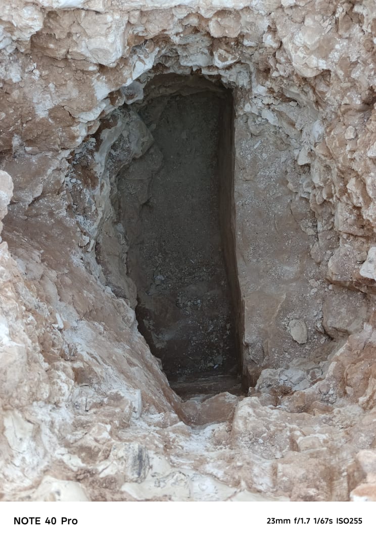
Silent footage: rough stone walls, a bright opening above and loose material on the floor of an interior passage.
Location, depth and route are owner-provided. The map shows illustrative dry rural terrain in Syria selected for visual resemblance, rather than the tunnel location.